Wildlife Conservation
J-mca.org is no longer available here. Please visit jhalliance.org instead.
Saving the Planet’s Animals
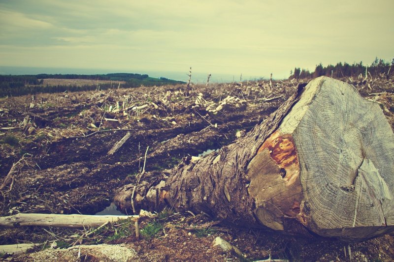
In an era characterized by rampant deforestation, urban encroachment, and industrial exploitation, there is more need than ever to protect wild animal species and their rapidly diminishing habitats. According to the International Union for the Conservation of Nature, roughly 27,000 animal species now face the risk of extinction before the end of the current century.
Uphill Battle
Recent decades have seen the emergence of several large and well-funded NGOs dedicated to protecting threatened animal species and the delicate ecosystems in which they exist. These include the World Wildlife Fund, the Nature Conservancy, and Conservation International, to name only a few.
Unfortunately, these organizations face an uphill battle against the almost insurmountable challenges posed by 21st-century industrialization. Along with deforestation and urban sprawl, these difficulties include ever-increasing amounts of industrial pollution and the ongoing process of climate change.
More Effort Needed
As a result of industrialization, there are numerous pollutants, on land, in the air, and in water bodies that have adverse effects on wildlife. The most glaring examples of these are pesticides, which in many cases contain toxic chemicals that can be deadly if ingested by wild animals.
The ongoing effects of climate change, too, have harmful effects on the world’s wildlife populations. Rising temperatures and changing rainfall patterns, along with increasingly frequent droughts and heatwaves, all have a profound impact on the earth’s ecosystems and animal habitats.
If wildlife populations are to be saved from extinction, individuals and organizations must redouble their efforts to find alternatives to the unchecked industrialization that has characterized human existence for the last 100 years.